![]()
|
|
|
Page 2 |
Prehistoric Sites in
SCOTLAND
by Martin J. Powell
Page 2 of 2
There are many hundreds of prehistoric monuments scattered around the Scottish mainland and its many islands. The following gallery features a selection of sites which are located in the South-western region of the country.
Click on a thumbnail to see a full-size picture. The Ordnance Survey Map links (O.S. Map) point to the 1:25,000 scale map of the region (equivalent to the O. S. Pathfinder Series of printed maps), as displayed at Streetmap.co.uk.
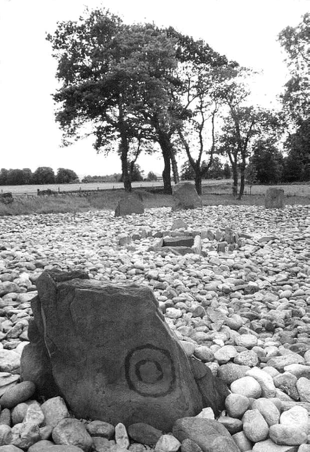
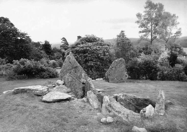
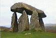
Temple Wood Stone Circle & Cist County: Argyll (Strathclyde) Ordnance Survey Grid Ref: NR 826 978 O.S. Map (Streetmap) Photo Size: 131 KB / Date: June 1990
The cist is orientated ca. 33 degrees towards an upright stone which has a double concentric circle carving on its outer face. Another stone at the North of the circle is decorated with a spiral motif. |
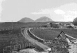
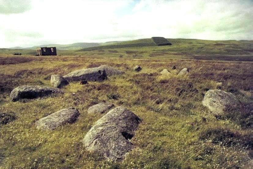
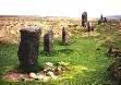
Glenquicken North Stone Circle County: Kirkcudbrightshire (Dumfries & Galloway) O.S. Grid Ref: NX 509 582 O.S. Map (Streetmap) Satellite Photo (Google Maps) Photo Size: 92 KB / Date: June 1990
The noted archaeoastronomer Professor Alexander Thom proposed that the line between this and a now destroyed circle nearby was aligned upon the rising of the star Antares in 1860 BC. |
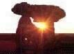
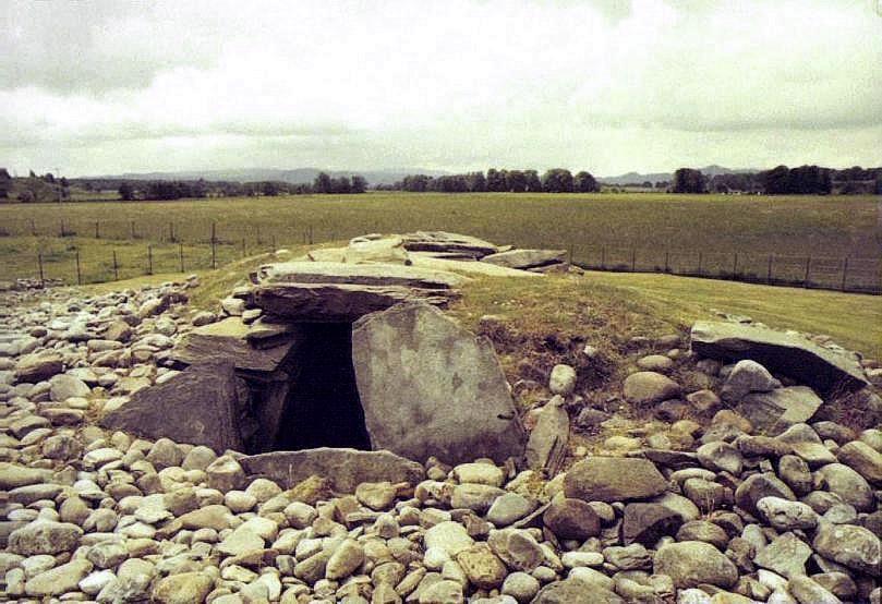
Nether Largie South Chambered Cairn County: Argyll (Strathclyde) O.S. Grid Ref: NR 828 979 O.S. Map (Streetmap) Photo Size: 89 KB / Date: June 1990
Situated some 1900 ft (580 m) to the NNE, beyond the central cairn of the group, is the Nether Largie North Cairn (NR 831 984). It is 69 ft (21 m) in diameter and 10 ft (3 m) high. The rectangular central chamber (61 KB) can be accessed via a roof hatch. The underside of the capstone - now placed upright for public display - is decorated with around forty cupmarks. One of the end slabs also has two axe-head carvings. |
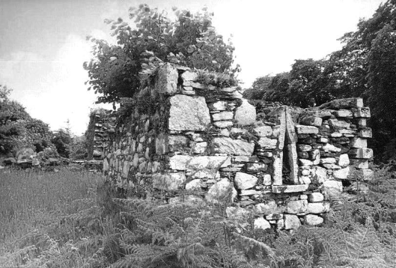
Kilneuair Church (St. Columba's Chapel) Disused Medieval Church County: Argyll (Strathclyde) O.S. Grid Ref: NM 889 037 O.S. Map (Streetmap) Photo Size: 105 KB / Date: June 1990
One of the stones built into the church has a hand-carving of Neolithic type (see also Barrnakill Hands on Page 1) but the stone could not be located during the writer's visit. A photograph of the carving can be seen on the British Rock Art Collection's website. |
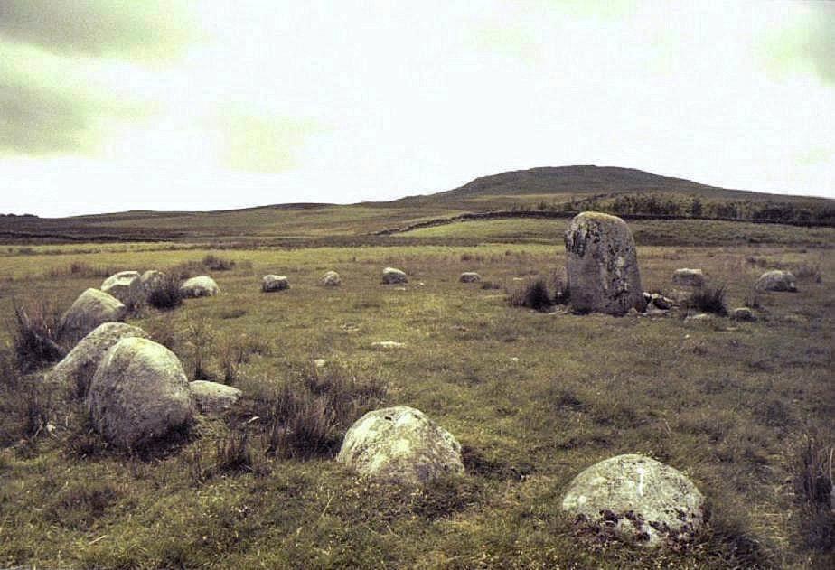
Fowlis Wester West Stone Circle County: Perthshire (Tayside) O.S. Grid Ref: NN 923 249 O.S. Map (Streetmap) Photo Size: 92 KB / Date: June 1990
The site was excavated in 1939, when a cremation and scatters of quartz pebbles were found. |
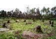
Crarae Chambered Long Cairn County: Argyllshire (Strathclyde) O.S. Grid Ref: NR 985 973 O.S. Map (Streetmap) Photo Size: 96 KB / Date: June 1990
During excavation in 1963, some 5,000 seashell remains were found in the chamber, representing fifteen different species. All had been eaten. |
|
Page 2 |
 Loch
Finlaggan, Islay, Scotland
Loch
Finlaggan, Islay, Scotland
 Archaeoastronomy
in South Wales
Archaeoastronomy
in South Wales
Copyright Martin J Powell 2001 - 2015
 South
Dartmoor in 3D Stereo
South
Dartmoor in 3D Stereo